3 RAVeLs Loop


A bike ride to discover the Meuse Valley, the former railway line Line 150 in the heart of the Molignée Valley, and the Sambre Valley. It therefore combines the three RAVeL lines:
Part of the Eurovélo 19 from Namur to Anhée along the Meuse: the bucolic landscapes you will encounter, created by this majestic river, will lead you to discover the magnificent natural and industrial heritage of Wallonia.
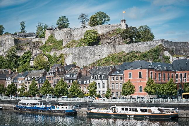
Leaving Namur, you will pass along the Citadel, a masterpiece of Vauban, to arrive in Wépion, land of the strawberry, where you will find the Strawberry Museum.
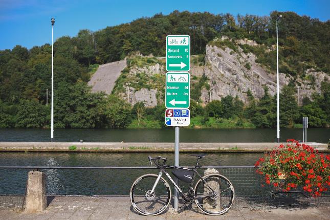
Then, in Rivière, look up and you may see some crazy people on their strange machines - hang gliders - who have taken off from the viewpoint of the Sept Meuses.
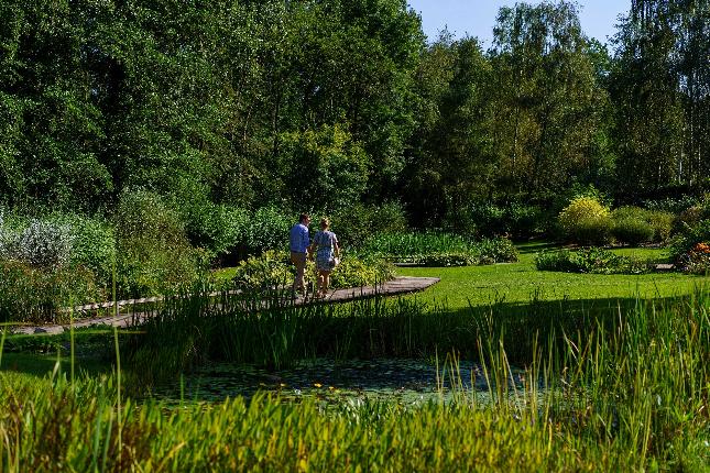
You are in the most beautiful landscape section of the Meuse valley, with numerous cliffs and sumptuous settings such as the famous gardens of Annevoie.
Shortly before Anhée, the ruins of the feudal castle of Poilvache dominate the Meuse from the top of its rocky spur.
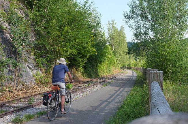
On the pre-RAVeL of Lines 163 and 618: From Anhée to Aisemont (Fosses-la-Ville)
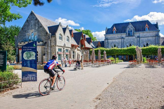
From Anhée, you ride along the banks of the river "Molignée" passing by the ruins of the Montaigle castle and Sosoye, one of the most beautiful villages in Wallonia. From there, along the Draisines de la Molignée, you are invited to take a break at the Abbey of Maredsous.
Your walk then takes you through fields and groves in the direction of Fosses-la Ville, the town of Chinel. You will ride along the Bambois Lake, an enchanting place where it is good to relax and observe the birdlife. As you pass by Regare in Fosses-la Ville, don't hesitate to stop and explore this tourist showcase of the region. You end your journey on the RAVeL a few kilometres further on at the former stop of Aisemont.
On the RAVeL de Sambre
You follow the calm waters of the Sambre as it meanders along. Locks and bridges follow one another in the middle of nature.
Route details
Start place
 Place de la Station
 B-5000 Namur (Namur)
- : Easy
- : 5:00
- Tow-path
- Along a waterway
- Rural environment
- Potentially floodable area